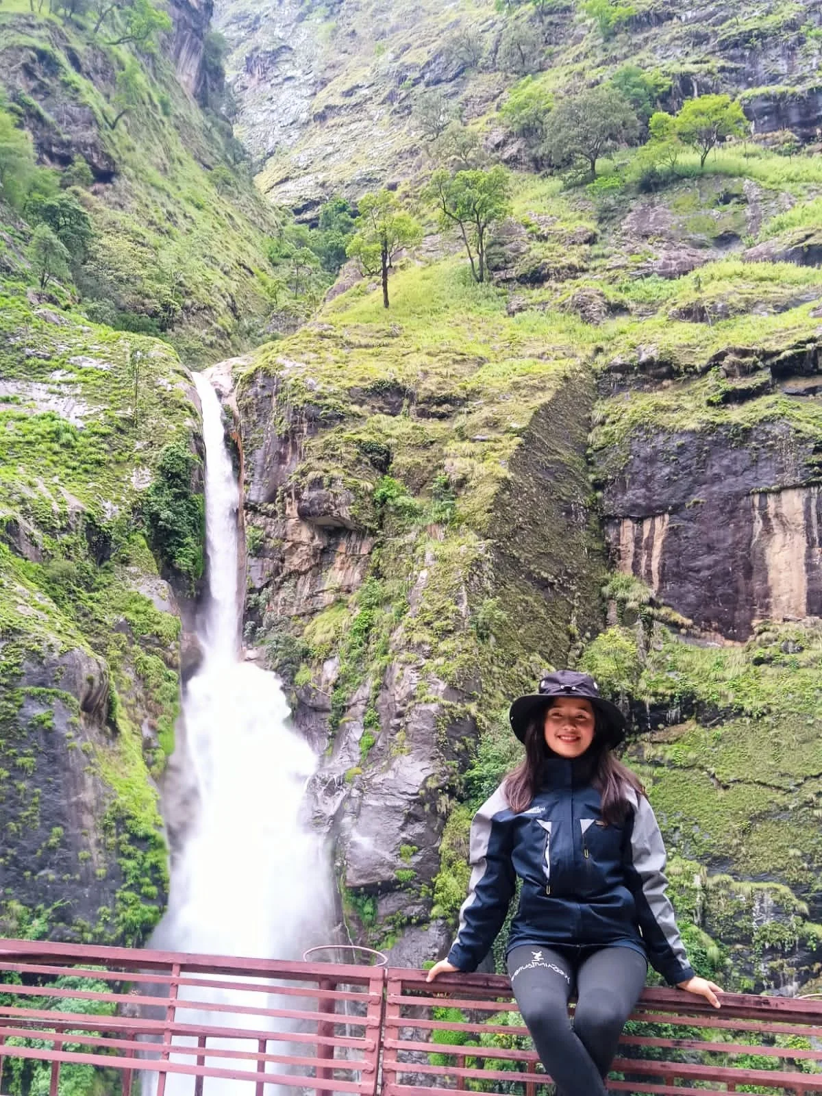
The Langtang Valley Trek begins with a landscape that does not immediately look like the high Himalaya most travellers have come to Nepal imagining. From Syabrubesi, the trail enters the valley beside the Langtang Khola, where the river, steep forested slopes and waterfalls dominate the first part of the journey. The snowy mountains are still ahead, partly hidden by the geography of the valley. That gradual reveal is one of the qualities that makes the Langtang trek different.
As the trail climbs through Bamboo, Rimche and Lama Hotel and continues towards Ghoda Tabela, the valley slowly changes around you. Dense forest begins giving way to a broader mountain landscape. Langtang National Park protects an unusually wide elevation range, and its forests include oak, rhododendron, fir, hemlock, birch and Nepalese larch—the latter particularly interesting because Nepal's Department of National Parks and Wildlife Conservation describes it as the region's only deciduous conifer.
Eventually, the enclosed lower valley opens towards Langtang Village. By this point, the journey is no longer simply about reaching a mountain viewpoint. Mani walls, prayer flags, monasteries, stone houses, grazing animals and settlements along the route reflect a Himalayan landscape where people have lived for generations. The wider Langtang region is particularly associated with Tamang communities and Tibetan-influenced Buddhist traditions.
Langtang Village also carries a much more recent history.
On 25 April 2015, the Gorkha earthquake triggered enormous avalanches of rock, ice and snow above the valley. Scientific investigations documented not only the avalanche itself but a powerful air-pressure blast that contributed to catastrophic destruction in and around Langtang Village. The disaster killed residents, trekking workers and international visitors and transformed the physical landscape of the settlement. Today, the village trekkers walk through has been rebuilt. That story deserves to be understood respectfully—not turned into another attraction on an itinerary.
The following day brings another transformation. Beyond Langtang Village and Mundu, the trail continues higher towards Kyanjin Gompa, around 3,870 metres. Forest becomes less dominant, the valley widens and the surrounding peaks and glaciated terrain become increasingly prominent. Kyanjin is not somewhere we want travellers to reach simply to sleep and immediately turn around.
It is the high-altitude heart of our Langtang Valley Trek itinerary.
From Kyanjin, the next morning can lead above the settlement towards Kyanjin Ri or, for sufficiently acclimatized and capable trekkers when conditions allow, the longer climb towards Tserko Ri. The distinction matters. These are not interchangeable photo stops. Tserko Ri approaches 5,000 metres and demands substantially more time and effort, while weather, snow, trail conditions and individual acclimatization can change what is sensible on a particular day. HTV therefore treats the higher exploration day as a mountain decision rather than guaranteeing the highest viewpoint simply because it sounds better in an advertisement.
There is another story hidden in this upper valley that many Langtang Valley Trek guides barely mention.
The glaciers around Langtang are also part of an important Himalayan research landscape. Scientists working with ICIMOD have conducted glacier, snow, weather and hydrological monitoring in the valley, including long-term research around Yala Glacier. That means the ice visible from the upper Langtang landscape is not merely scenery: researchers have been measuring how this Himalayan environment is changing.
And although Langtang is geographically close to Kathmandu compared with many of Nepal's major trekking regions, getting here still feels like crossing into another world. There is no domestic mountain flight required for the standard Langtang trek. The journey reaches the trailhead overland, making Langtang an interesting choice for travellers who want a substantial Himalayan trek without adding Lukla-style flight logistics.
“Shorter,” however, does not mean “easy.”
The route climbs from the lower valley around Syabrubesi to an overnight elevation of roughly 3,870 metres at Kyanjin, while a high viewpoint day can take trekkers considerably higher. The walking itself is generally non-technical, but consecutive trekking days, rapid elevation gain, cold conditions and optional exploration approaching 5,000 metres mean acclimatization and sensible pacing remain important.
Eventually, the route turns back down the same valley. Yet the return does not simply feel like pressing rewind. Mountain walls and settlements are approached from the opposite direction, places hurried past during the climb become familiar, and the increasingly dense forest begins to signal the descent towards Syabrubesi.
That concentration is what gives the Langtang Valley Trek in Nepal its identity. Within one valley, the journey connects forest, river, Tamang mountain settlements, Buddhist heritage, the difficult history and rebuilding of Langtang Village, high-altitude exploration around Kyanjin and a glacial landscape that scientists are still studying.
You do not need Langtang to imitate Everest, Annapurna or Manaslu for it to feel Himalayan.
You simply have to keep following the valley until the forest falls behind and the mountains finally open around you.